
石月亮乡 topographic map
Interactive map
Click on the map to display elevation.
About this map
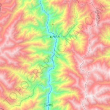
Name: 石月亮乡 topographic map, elevation, terrain.
Location: 石月亮乡, 福贡县, 怒江傈僳族自治州, 云南省, 中国 (27.08522 98.70151 27.32898 99.00727)
Average elevation: 9,268 ft
Minimum elevation: 4,019 ft
Maximum elevation: 14,022 ft
Other topographic maps
Click on a map to view its topography, its elevation and its terrain.