Geolocate

Ligon topographic map

Click on the map to display elevation.

About this map

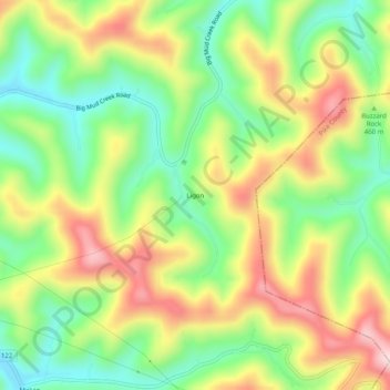
Name: Ligon topographic map, elevation, terrain.

Location: Ligon, Floyd County, Kentucky, 41604, United States (37.35038 -82.69266 37.39038 -82.65266)

Average elevation: 1,480 ft

Minimum elevation: 984 ft

Maximum elevation: 2,116 ft

Floyd County trails, hiking, mountain biking, running and outdoor activities

Other topographic maps

Click on a map to view its topography, its elevation and its terrain.

Wheelwright

United States > Kentucky > Floyd County

Average elevation: 1,460 ft

Allen

United States > Kentucky > Floyd County

Average elevation: 856 ft

Martin

United States > Kentucky > Floyd County

Average elevation: 883 ft

Gear up for your next adventure:

📖Nature Tracking Books - Learn to track wildlife and terrain
🪶Compact Camp Shovel - Folding shovel for campsite tasks
🔭Stargazing Telescopes - Perfect for camping in low-light pollution areas shown on maps
🦺Reflective Outdoor Gear - Safety gear for low‑light conditions
📚USA Hiking Guide Books - Top trail guides and map books

As an Amazon Associate, this site earns from qualifying purchases at no extra cost to you.