Geolocate

Kenesaw topographic map

Click on the map to display elevation.

About this map

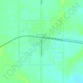
Name: Kenesaw topographic map, elevation, terrain.

Location: Kenesaw, Adams County, Nebraska, 68956, United States (40.61129 -98.66721 40.62661 -98.64814)

Average elevation: 2,054 ft

Minimum elevation: 2,037 ft

Maximum elevation: 2,070 ft

Adams County trails, hiking, mountain biking, running and outdoor activities

Other topographic maps

Click on a map to view its topography, its elevation and its terrain.

Hansen

United States > Nebraska > Adams County

Average elevation: 1,949 ft

Assumption

United States > Nebraska > Adams County > Assumption

Average elevation: 1,985 ft

Gear up for your next adventure:

🥇GPS Hiking Watch - Multi‑sport GPS watch with navigation and trail tracking
📷Action Cameras - Rugged cameras to document your journeys across rugged terrain
📶Vehicle Signal Boosters - Improve reception in rural areas while driving to trailheads
🧢Outdoor Hiking Hat - Sun protection hat for outdoor explorers
🧦Merino Wool Socks - Moisture-wicking, blister-preventing socks for long treks

As an Amazon Associate, this site earns from qualifying purchases at no extra cost to you.