Geolocate

Chatham topographic map

Click on the map to display elevation.

About this map

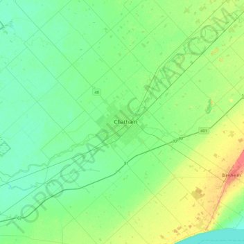
Name: Chatham topographic map, elevation, terrain.

Location: Chatham, Chatham-Kent, Ontario, N7L 1S4, Canada (42.24572 -82.34538 42.56572 -82.02538)

Average elevation: 604 ft

Minimum elevation: 558 ft

Maximum elevation: 722 ft

Other topographic maps

Click on a map to view its topography, its elevation and its terrain.

Gear up for your next adventure:

🔭Telescopic Hiking Pole - Adjustable pole for hiking stability
🏫Relief Map Kits - Hands-on tools for teaching landforms and elevation
🧭Orienteering Set - Complete compass and map reading kit
❄️Traction Cleats - Prevent slips on icy trails during winter hikes
🧴Hand Sanitizer - Keep hands clean while hiking

As an Amazon Associate, this site earns from qualifying purchases at no extra cost to you.