Geolocate

Orléans topographic map

Click on the map to display elevation.

About this map

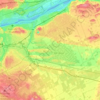
Name: Orléans topographic map, elevation, terrain.

Location: Orléans, Ottawa, Eastern Ontario, Ontario, Canada (45.29816 -75.60565 45.51615 -75.41763)

Average elevation: 253 ft

Minimum elevation: 128 ft

Maximum elevation: 410 ft

Other topographic maps

Click on a map to view its topography, its elevation and its terrain.

Leonard

Canada > Ontario > Ottawa

Average elevation: 272 ft

Sewell Park

Canada > Ontario > Ottawa

Average elevation: 341 ft

Gloucester

Canada > Ontario > Ottawa

Average elevation: 253 ft

Winding Way

Canada > Ontario > Ottawa

Average elevation: 289 ft

Gear up for your next adventure:

🌐World Map Poster - Decorative world maps with topographic info
🗺️Topographic Maps - Detailed topo maps for hiking, exploring and outdoor navigation
🎒Trekking Poles - Sturdy poles for balance and stability on rough terrain
🥄Camping Utensil Set - Lightweight utensils for outdoor meals
🪵Folding Camp Saw - Compact saw for wood and campsite work

As an Amazon Associate, this site earns from qualifying purchases at no extra cost to you.