Geolocate

Lake Ranch topographic map

Click on the map to display elevation.

About this map

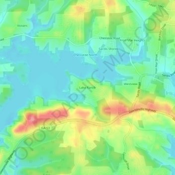
Name: Lake Ranch topographic map, elevation, terrain.

Location: Lake Ranch, Hall County, Georgia, 30506, United States (34.31843 -83.93879 34.35843 -83.89879)

Average elevation: 1,155 ft

Minimum elevation: 1,056 ft

Maximum elevation: 1,348 ft

Other topographic maps

Click on a map to view its topography, its elevation and its terrain.

Oakwood

United States > Georgia > Hall County

Average elevation: 1,175 ft

Gainesville

United States > Georgia > Hall County

Average elevation: 1,135 ft

Deaton Creek

United States > Georgia > Hall County

Average elevation: 909 ft

Lula

United States > Georgia > Hall County

Average elevation: 1,211 ft

Flowery Branch

United States > Georgia > Hall County

Average elevation: 1,125 ft

Gainesville

United States > Georgia > Hall County

Average elevation: 1,135 ft

Lula

United States > Georgia > Hall County

Average elevation: 1,211 ft

Gainesville

United States > Georgia > Hall County

Average elevation: 1,135 ft

Gear up for your next adventure:

Backpacking Tent - Lightweight and durable tent for multi‑day hikes
🛰️Handheld GPS Units - Professional satellite navigators for precise backcountry mapping
🧭Compass with Lanyard - Easy‑carry compass for navigation
🌐World Map Poster - Decorative world maps with topographic info
🛏️Cold Weather Sleeping Bag - Warm sleeping bag for cold conditions

As an Amazon Associate, this site earns from qualifying purchases at no extra cost to you.