Geolocate

Starling topographic map

Click on the map to display elevation.

About this map

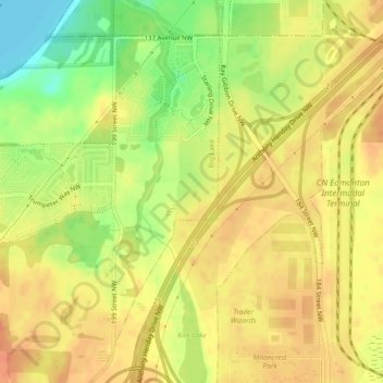
Name: Starling topographic map, elevation, terrain.

Location: Starling, Big Lake, Division No. 11, Alberta, Canada (53.57771 -113.66416 53.59967 -113.65153)

Average elevation: 2,224 ft

Minimum elevation: 2,133 ft

Maximum elevation: 2,274 ft

Other topographic maps

Click on a map to view its topography, its elevation and its terrain.

Calmar

Canada > Alberta > Division No. 11

Average elevation: 2,398 ft

Gear up for your next adventure:

🔥Camping Stove - Portable stove for camping and backcountry cooking
🛌Ultralight Sleeping Bags - Compact down bags for cold nights in the wilderness
🎒Waterproof Dry Bags - Keep your electronics and maps dry inside your pack
🦶Carbon Trekking Poles - Reduce knee impact on steep descents with ultra-light poles
🪶Fire Starter Kit - Reliable fire starter for survival and camping

As an Amazon Associate, this site earns from qualifying purchases at no extra cost to you.