
如美镇 topographic map
Interactive map
Click on the map to display elevation.
About this map
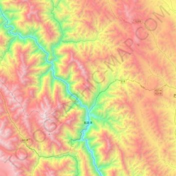
Name: 如美镇 topographic map, elevation, terrain.
Location: 如美镇, 芒康县, 昌都市, 西藏自治区, 中国 (29.49442 98.20162 29.90382 98.56353)
Average elevation: 13,527 ft
Minimum elevation: 8,488 ft
Maximum elevation: 18,343 ft
Other topographic maps
Click on a map to view its topography, its elevation and its terrain.