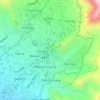
Nubra topographic map
Click on the map to display elevation.
Nubra
The Shyok River meets the Nubra River (or Siachan River) to form a large valley that separates the Ladakh and Karakoram Ranges. The Shyok river is a tributary of the Indus river. The average altitude of the valley is more than 10,000 feet (3,000 m) above the sea level. The most common way to access this valley is to travel over the Khardung La pass from Leh.
About this map
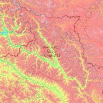
Name: Nubra topographic map, elevation, terrain.
Location: Nubra, Leh District, Ladakh, 194401, India (33.97611 76.66317 35.67455 79.04537)
Average elevation: 16,332 ft
Minimum elevation: 8,107 ft
Maximum elevation: 25,568 ft
Other topographic maps
Click on a map to view its topography, its elevation and its terrain.