
杨曲村 topographic map
Interactive map
Click on the map to display elevation.
About this map
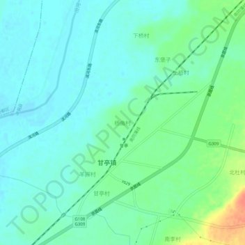
Name: 杨曲村 topographic map, elevation, terrain.
Location: 杨曲村, 洪洞县, 临汾市, 山西省, 中国 (36.16626 111.58315 36.20626 111.62315)
Average elevation: 1,457 ft
Minimum elevation: 1,417 ft
Maximum elevation: 1,565 ft
Other topographic maps
Click on a map to view its topography, its elevation and its terrain.