
Goose Creek topographic map
Click on the map to display elevation.
About this map
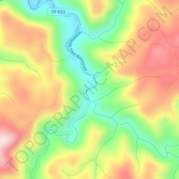
Name: Goose Creek topographic map, elevation, terrain.
Location: Goose Creek, Floyd County, Virginia, 24072, United States (37.08258 -80.20599 37.08579 -80.20404)
Average elevation: 2,136 ft
Minimum elevation: 1,594 ft
Maximum elevation: 2,684 ft
Floyd County trails, hiking, mountain biking, running and outdoor activities
Other topographic maps
Click on a map to view its topography, its elevation and its terrain.