
Kennicott topographic map
Click on the map to display elevation.
Kennicott
Topographic map showing the location of the Erie, Jumbo, Mother Lode, Bonanza and Glacier Mines in relation to Kennecott. Note the aerial tramways and haulage tunnels.
About this map
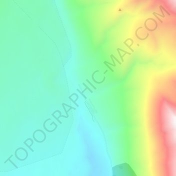
Name: Kennicott topographic map, elevation, terrain.
Location: Kennicott, Copper River, Alaska, United States (61.46629 -142.90640 61.50629 -142.86640)
Average elevation: 2,589 ft
Minimum elevation: 1,650 ft
Maximum elevation: 5,148 ft
Copper River trails, hiking, mountain biking, running and outdoor activities
Other topographic maps
Click on a map to view its topography, its elevation and its terrain.