Geolocate

Netarts Bay topographic map

Click on the map to display elevation.

About this map

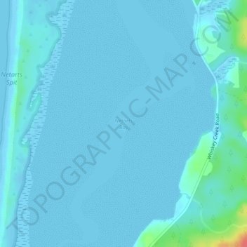
Name: Netarts Bay topographic map, elevation, terrain.

Location: Netarts Bay, Tillamook County, Oregon, United States (45.40228 -123.94573 45.40238 -123.94563)

Average elevation: 13 ft

Minimum elevation: -7 ft

Maximum elevation: 184 ft

Tillamook County trails, hiking, mountain biking, running and outdoor activities

Other topographic maps

Click on a map to view its topography, its elevation and its terrain.

Neahkahnie Beach

United States > Oregon > Tillamook County

Average elevation: 331 ft

Beaver

United States > Oregon > Tillamook County > Beaver

Average elevation: 253 ft

Nehalem Bay

United States > Oregon > Tillamook County

Average elevation: 108 ft

Seal Rock

United States > Oregon > Tillamook County > Oceanside

Average elevation: 36 ft

Netarts

United States > Oregon > Tillamook County > Netarts

Average elevation: 115 ft

Cloverdale

United States > Oregon > Tillamook County > Cloverdale

Average elevation: 305 ft

Gear up for your next adventure:

🔦Compact Flashlight - Reliable flashlight for emergencies
🧣Hiking Neck Gaiter - Multi‑use neck protection for outdoor weather
🧭Orienteering Set - Complete compass and map reading kit
🎒Outdoor Daypacks - Lightweight backpacks designed for carrying maps and essential gear
🔦LED Headlamp - Bright and durable LED headlamp for night navigation

As an Amazon Associate, this site earns from qualifying purchases at no extra cost to you.