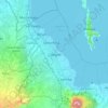
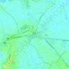
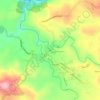
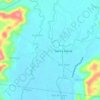
Pangil topographic map
Click on the map to display elevation.
Pangil
The municipality is strategically situated at the southern tip of Sierra Madre mountain range (six barangays) and along the eastern margin of Jalajala Peninsula and just west of the northwestern shore of the easternmost major embayment of Laguna de Bay (two barangays). Its narrow strip of territory traverses in its length by Pangil River (12.5 km long), valued for its pristine and abundant water contributing to its domestic, agricultural, ecotourism and other potential economic uses like bulk water and hydropower. Its topography is generally flat in between rolling and steep hills.
About this map
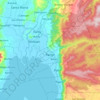
Name: Pangil topographic map, elevation, terrain.
Location: Pangil, Laguna, Calabarzon, 4018, Philippines (14.36277 121.39184 14.45636 121.53830)
Average elevation: 538 ft
Minimum elevation: -16 ft
Maximum elevation: 1,831 ft
Other topographic maps
Click on a map to view its topography, its elevation and its terrain.