
Butterfield topographic map
Click on the map to display elevation.
About this map
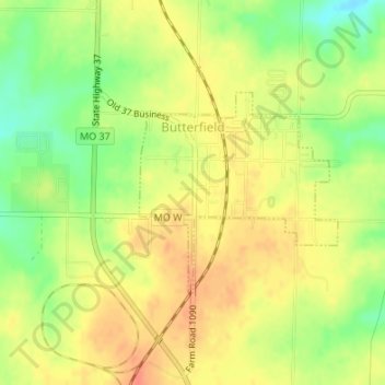
Name: Butterfield topographic map, elevation, terrain.
Location: Butterfield, Barry County, Missouri, 65623, United States (36.73840 -93.91242 36.75247 -93.89500)
Average elevation: 1,519 ft
Minimum elevation: 1,430 ft
Maximum elevation: 1,578 ft
Barry County trails, hiking, mountain biking, running and outdoor activities
Other topographic maps
Click on a map to view its topography, its elevation and its terrain.