
Whitesburg topographic map
Interactive map
Click on the map to display elevation.
About this map
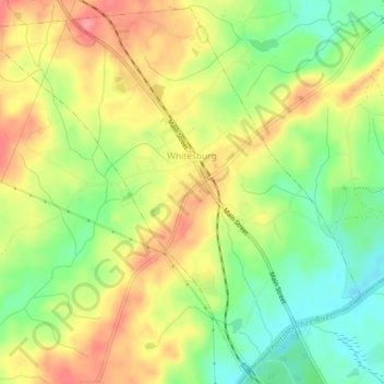
Name: Whitesburg topographic map, elevation, terrain.
Location: Whitesburg, Carroll County, Georgia, United States (33.47139 -84.94015 33.50910 -84.89310)
Average elevation: 817 ft
Minimum elevation: 676 ft
Maximum elevation: 958 ft
Carroll County trails, hiking, mountain biking, running and outdoor activities
Other topographic maps
Click on a map to view its topography, its elevation and its terrain.