
Rock Creek topographic map
Interactive map
Click on the map to display elevation.
About this map
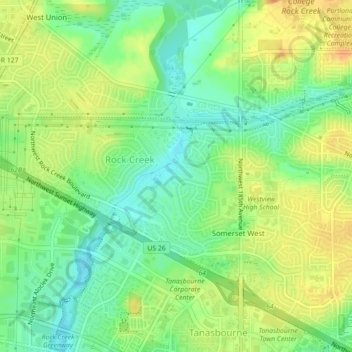
Name: Rock Creek topographic map, elevation, terrain.
Location: Rock Creek, Washington County, Oregon, United States (45.53788 -122.89952 45.56624 -122.85538)
Average elevation: 213 ft
Minimum elevation: 151 ft
Maximum elevation: 282 ft
Washington County trails, hiking, mountain biking, running and outdoor activities
Other topographic maps
Click on a map to view its topography, its elevation and its terrain.