
Blountsville topographic map
Interactive map
Click on the map to display elevation.
About this map
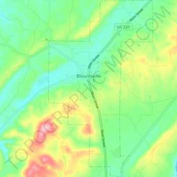
Name: Blountsville topographic map, elevation, terrain.
Location: Blountsville, Blount County, Alabama, United States (34.04614 -86.60815 34.10809 -86.56400)
Average elevation: 810 ft
Minimum elevation: 614 ft
Maximum elevation: 1,184 ft
Blount County trails, hiking, mountain biking, running and outdoor activities
Other topographic maps
Click on a map to view its topography, its elevation and its terrain.