
Rowland topographic map
Click on the map to display elevation.
About this map
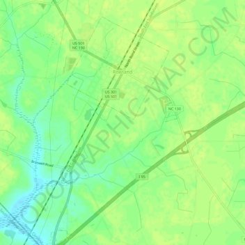
Name: Rowland topographic map, elevation, terrain.
Location: Rowland, Robeson County, North Carolina, United States (34.50372 -79.30795 34.55009 -79.27885)
Average elevation: 148 ft
Minimum elevation: 115 ft
Maximum elevation: 161 ft
Robeson County trails, hiking, mountain biking, running and outdoor activities
Other topographic maps
Click on a map to view its topography, its elevation and its terrain.
Lumberton
United States > North Carolina > Robeson County > Lumberton > Lumberton
Average elevation: 135 ft