
Meers topographic map
Click on the map to display elevation.
About this map
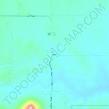
Name: Meers topographic map, elevation, terrain.
Location: Meers, Comanche County, Oklahoma, United States (34.76286 -98.59896 34.80286 -98.55896)
Average elevation: 1,499 ft
Minimum elevation: 1,368 ft
Maximum elevation: 2,408 ft
Comanche County trails, hiking, mountain biking, running and outdoor activities
Other topographic maps
Click on a map to view its topography, its elevation and its terrain.