
Indiahoma topographic map
Click on the map to display elevation.
About this map
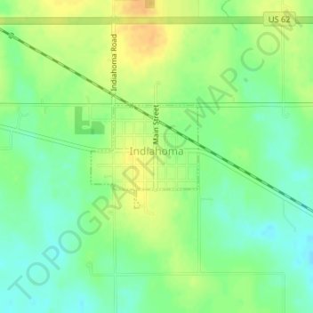
Name: Indiahoma topographic map, elevation, terrain.
Location: Indiahoma, Comanche County, Oklahoma, United States (34.61483 -98.75835 34.62372 -98.74708)
Average elevation: 1,329 ft
Minimum elevation: 1,283 ft
Maximum elevation: 1,378 ft
Comanche County trails, hiking, mountain biking, running and outdoor activities
Other topographic maps
Click on a map to view its topography, its elevation and its terrain.