
Tiptop topographic map
Click on the map to display elevation.
About this map
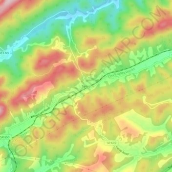
Name: Tiptop topographic map, elevation, terrain.
Location: Tiptop, Tazewell County, Virginia, United States (37.19095 -81.45399 37.23095 -81.41399)
Average elevation: 2,835 ft
Minimum elevation: 2,408 ft
Maximum elevation: 3,274 ft
Tazewell County trails, hiking, mountain biking, running and outdoor activities
Other topographic maps
Click on a map to view its topography, its elevation and its terrain.