
Burden topographic map
Click on the map to display elevation.
About this map
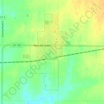
Name: Burden topographic map, elevation, terrain.
Location: Burden, Cowley County, Kansas, United States (37.30464 -96.76137 37.32442 -96.74927)
Average elevation: 1,381 ft
Minimum elevation: 1,332 ft
Maximum elevation: 1,424 ft
Cowley County trails, hiking, mountain biking, running and outdoor activities
Other topographic maps
Click on a map to view its topography, its elevation and its terrain.
Arkansas City
United States > Kansas > Cowley County > Arkansas City > Arkansas City
Average elevation: 1,112 ft