
Vallée du Bandama topographic map
Interactive map
Click on the map to display elevation.
About this map
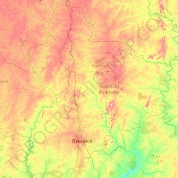
Name: Vallée du Bandama topographic map, elevation, terrain.
Location: Vallée du Bandama, Côte d'Ivoire (7.23342 -5.73402 9.42454 -3.90056)
Average elevation: 896 ft
Minimum elevation: 358 ft
Maximum elevation: 2,034 ft
Other topographic maps
Click on a map to view its topography, its elevation and its terrain.