
Galveston County topographic map
Interactive map
Click on the map to display elevation.
About this map
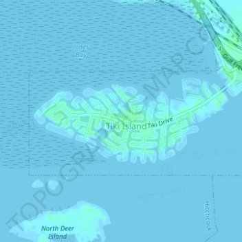
Name: Galveston County topographic map, elevation, terrain.
Location: Galveston County, Texas, USA (29.29259 -94.92950 29.30254 -94.90392)
Average elevation: 0 ft
Minimum elevation: -3 ft
Maximum elevation: 16 ft
Other topographic maps
Click on a map to view its topography, its elevation and its terrain.