
Roy topographic map
Interactive map
Click on the map to display elevation.
About this map
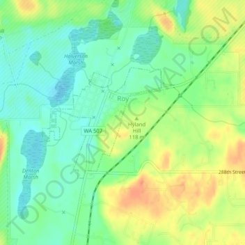
Name: Roy topographic map, elevation, terrain.
Location: Roy, Pierce County, Washington, United States (46.99545 -122.55294 47.00766 -122.53368)
Average elevation: 344 ft
Minimum elevation: 285 ft
Maximum elevation: 423 ft
Pierce County trails, hiking, mountain biking, running and outdoor activities
Other topographic maps
Click on a map to view its topography, its elevation and its terrain.