
Gaston topographic map
Interactive map
Click on the map to display elevation.
About this map
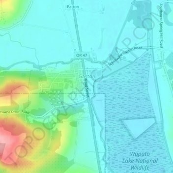
Name: Gaston topographic map, elevation, terrain.
Location: Gaston, Washington County, Oregon, United States (45.42976 -123.15601 45.43936 -123.13577)
Average elevation: 217 ft
Minimum elevation: 141 ft
Maximum elevation: 538 ft
Washington County trails, hiking, mountain biking, running and outdoor activities
Other topographic maps
Click on a map to view its topography, its elevation and its terrain.