
Woodstock topographic map
Interactive map
Click on the map to display elevation.
About this map
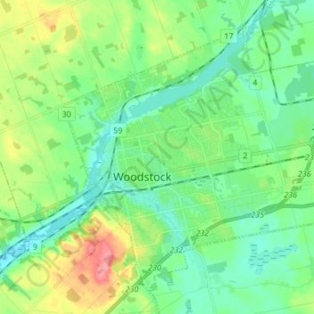
Name: Woodstock topographic map, elevation, terrain.
Location: Woodstock, Oxford County, Ontario, Canada (43.09432 -80.79021 43.17778 -80.65618)
Average elevation: 1,010 ft
Minimum elevation: 896 ft
Maximum elevation: 1,270 ft
Other topographic maps
Click on a map to view its topography, its elevation and its terrain.