
Spanaway topographic map
Interactive map
Click on the map to display elevation.
About this map
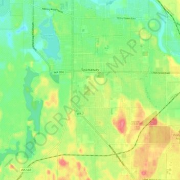
Name: Spanaway topographic map, elevation, terrain.
Location: Spanaway, Pierce County, Washington, 98404, United States (47.05312 -122.46373 47.12598 -122.38917)
Average elevation: 387 ft
Minimum elevation: 285 ft
Maximum elevation: 538 ft
Pierce County trails, hiking, mountain biking, running and outdoor activities
Other topographic maps
Click on a map to view its topography, its elevation and its terrain.