
Ný sprunga við Fagradalsfjall topographic map
Interactive map
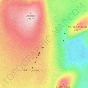
Click on the map to display elevation.
About this map
Name: Ný sprunga við Fagradalsfjall topographic map, elevation, terrain.
Average elevation: 846 ft
Minimum elevation: 364 ft
Maximum elevation: 1,253 ft
Other topographic maps
Click on a map to view its topography, its elevation and its terrain.
Grímsey
There are steep cliffs all along the coastline except on the southwestern shore. Grímsey has an area of 5.3 square kilometres (2.0 sq mi), and a maximum elevation of 105 metres (344 ft).
Average elevation: 39 ft
Eyjafjallajökull
Eyjafjallajökull (Icelandic: (listen); lit. 'glacier of the mountains of the islands') is one of the smaller ice caps of Iceland, north of Skógar and west of Mýrdalsjökull. The ice cap covers the caldera of a volcano with a summit elevation of 1,651 metres (5,417 ft). The volcano has erupted relatively…
Average elevation: 2,687 ft