Geolocate

Moweaqua topographic map

Click on the map to display elevation.

About this map

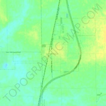
Name: Moweaqua topographic map, elevation, terrain.

Location: Moweaqua, Shelby County, Illinois, United States (39.61043 -89.05344 39.63956 -88.99609)

Average elevation: 620 ft

Minimum elevation: 587 ft

Maximum elevation: 653 ft

Shelby County trails, hiking, mountain biking, running and outdoor activities

Other topographic maps

Click on a map to view its topography, its elevation and its terrain.

Todds Point

United States > Illinois > Shelby County

Average elevation: 656 ft

Westervelt

United States > Illinois > Shelby County

Average elevation: 656 ft

Shelbyville

United States > Illinois > Shelby County > Shelbyville

Average elevation: 620 ft

Gear up for your next adventure:

GPS Sports Watch - GPS watch for running, hiking and training
📶Vehicle Signal Boosters - Improve reception in rural areas while driving to trailheads
🪶Wildlife Field Guides - Learn animal tracking and species ID
🗺️Topographic Maps - Detailed topo maps for hiking, exploring and outdoor navigation
🎒Trail Energy Bars - High‑calorie bars for hiking energy

As an Amazon Associate, this site earns from qualifying purchases at no extra cost to you.