
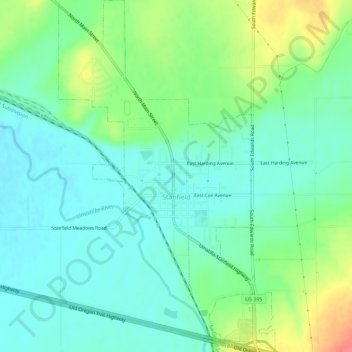
Stanfield topographic map
Click on the map to display elevation.
About this map
Name: Stanfield topographic map, elevation, terrain.
Location: Stanfield, Umatilla County, Oregon, United States (45.76286 -119.23630 45.80259 -119.20126)
Average elevation: 633 ft
Minimum elevation: 571 ft
Maximum elevation: 781 ft
Umatilla County trails, hiking, mountain biking, running and outdoor activities
Other topographic maps
Click on a map to view its topography, its elevation and its terrain.