
Chatmoss topographic map
Click on the map to display elevation.
About this map
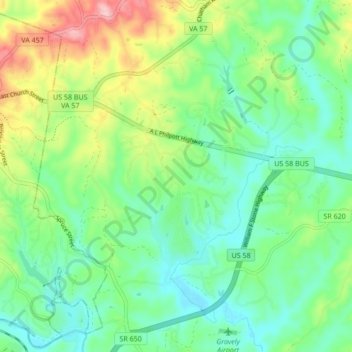
Name: Chatmoss topographic map, elevation, terrain.
Location: Chatmoss, Henry County, Virginia, United States (36.65682 -79.83053 36.69707 -79.74531)
Average elevation: 801 ft
Minimum elevation: 623 ft
Maximum elevation: 1,184 ft
Henry County trails, hiking, mountain biking, running and outdoor activities
Other topographic maps
Click on a map to view its topography, its elevation and its terrain.