
Spencer topographic map
Click on the map to display elevation.
About this map
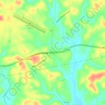
Name: Spencer topographic map, elevation, terrain.
Location: Spencer, Henry County, Virginia, 24165, United States (36.59986 -80.02727 36.63986 -79.98727)
Average elevation: 889 ft
Minimum elevation: 787 ft
Maximum elevation: 1,030 ft
Henry County trails, hiking, mountain biking, running and outdoor activities
Other topographic maps
Click on a map to view its topography, its elevation and its terrain.