
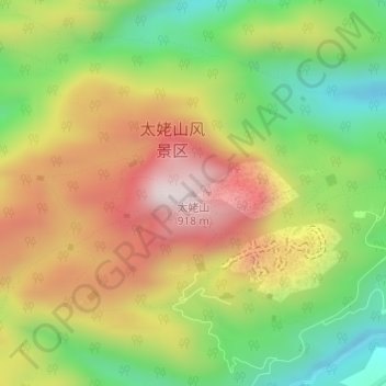
太姥山 topographic map
Interactive map
Click on the map to display elevation.
About this map
Name: 太姥山 topographic map, elevation, terrain.
Location: 太姥山, 福鼎市, 宁德市, 福建省, 中国 (27.12453 120.18277 27.12463 120.18287)
Average elevation: 1,949 ft
Minimum elevation: 1,007 ft
Maximum elevation: 2,972 ft
Other topographic maps
Click on a map to view its topography, its elevation and its terrain.