
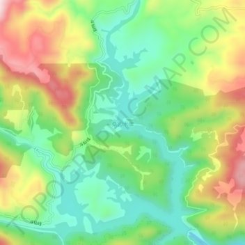
桑园水库 topographic map
Interactive map
Click on the map to display elevation.
About this map
Name: 桑园水库 topographic map, elevation, terrain.
Location: 桑园水库, 福鼎市, 宁德市, 福建省, 中国 (27.10771 120.02946 27.14814 120.05932)
Average elevation: 1,302 ft
Minimum elevation: 781 ft
Maximum elevation: 2,110 ft
Other topographic maps
Click on a map to view its topography, its elevation and its terrain.