Geolocate

Scotts Crossing topographic map

Click on the map to display elevation.

About this map

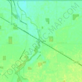
Name: Scotts Crossing topographic map, elevation, terrain.

Location: Scotts Crossing, Allen County, Ohio, United States (40.79783 -84.29273 40.83783 -84.25273)

Average elevation: 784 ft

Minimum elevation: 755 ft

Maximum elevation: 804 ft

Allen County trails, hiking, mountain biking, running and outdoor activities

Other topographic maps

Click on a map to view its topography, its elevation and its terrain.

Fort Shawnee

United States > Ohio > Allen County

Average elevation: 879 ft

Elida

United States > Ohio > Allen County

Average elevation: 801 ft

Harrod

United States > Ohio > Allen County

Average elevation: 1,001 ft

Cairo

United States > Ohio > Allen County

The elevation of the land area of Cairo (ranges from about 812' at the west end to 842' at the east end of the village above sea level) is benchmarked at 815 feet (248 m) above sea level, generally flat and moderately wooded. The nearest stream with year-round flow is Rattlesnake Creek, which flows from south…

Average elevation: 817 ft

Lafayette

United States > Ohio > Allen County

Average elevation: 938 ft

Spencerville

United States > Ohio > Allen County

Average elevation: 833 ft

Gear up for your next adventure:

🎒Trail Energy Bars - High‑calorie bars for hiking energy
🛰️Handheld GPS Units - Professional satellite navigators for precise backcountry mapping
🪄Magnetic Compass - Accurate compass for navigation
🔭Stargazing Telescopes - Perfect for camping in low-light pollution areas shown on maps
📶Vehicle Signal Boosters - Improve reception in rural areas while driving to trailheads

As an Amazon Associate, this site earns from qualifying purchases at no extra cost to you.