
南岗街道 topographic map
Interactive map
Click on the map to display elevation.
About this map
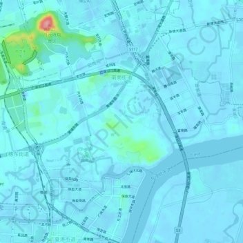
Name: 南岗街道 topographic map, elevation, terrain.
Location: 南岗街道, 黄埔区, 广州市, 广东省, 中国 (23.07323 113.51007 23.11054 113.56542)
Average elevation: 30 ft
Minimum elevation: -33 ft
Maximum elevation: 407 ft
Other topographic maps
Click on a map to view its topography, its elevation and its terrain.