
黄埔公园 topographic map
Interactive map
Click on the map to display elevation.
About this map
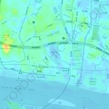
Name: 黄埔公园 topographic map, elevation, terrain.
Location: 黄埔公园, 黄埔街道, 黄埔区, 广州市, 广东省, 中国 (23.09850 113.44446 23.10338 113.44779)
Average elevation: 20 ft
Minimum elevation: -30 ft
Maximum elevation: 108 ft
Other topographic maps
Click on a map to view its topography, its elevation and its terrain.