Geolocate

مدينة الشيخ زايد topographic map

Click on the map to display elevation.

About this map

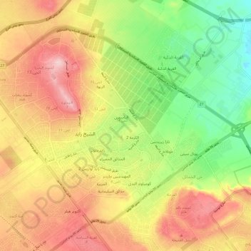
Name: مدينة الشيخ زايد topographic map, elevation, terrain.

Location: مدينة الشيخ زايد, Giza, Egypt (30.00918 30.93234 30.08769 31.05143)

Average elevation: 400 ft

Minimum elevation: 52 ft

Maximum elevation: 735 ft

Other topographic maps

Click on a map to view its topography, its elevation and its terrain.

El Badrashein

Egypt > Giza

Average elevation: 72 ft

Black Desert

Egypt > Giza > Northern Oases

Average elevation: 617 ft

Mandisha

Egypt > Giza

Average elevation: 413 ft

Belleville

Egypt > Giza > Belleville

Average elevation: 315 ft

Smart Village

Egypt > Giza > Smart Village

Average elevation: 256 ft

October Hills

Egypt > Giza > October Hills

Average elevation: 518 ft

Mit Rahinah

Egypt > Giza

Average elevation: 72 ft

Gear up for your next adventure:

🎒Trekking Poles - Sturdy poles for balance and stability on rough terrain
Camping Coffee Makers - Enjoy premium coffee at the summit or campsite
🥘Titanium Cookware - Durable, featherlight pots and pans for backpacking
🔥Plasma Lighters - Windproof lighters that work in any weather condition
🧷Carabiner Set - Durable clips for gear attachment

As an Amazon Associate, this site earns from qualifying purchases at no extra cost to you.