
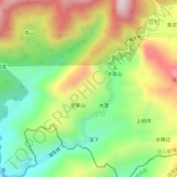
南山坞 topographic map
Interactive map
Click on the map to display elevation.
About this map
Name: 南山坞 topographic map, elevation, terrain.
Location: 南山坞, 廿八都镇, 江山市, 衢州市, 浙江省, 中国 (28.27688 118.51491 28.29688 118.53491)
Average elevation: 1,877 ft
Minimum elevation: 1,125 ft
Maximum elevation: 2,815 ft
Other topographic maps
Click on a map to view its topography, its elevation and its terrain.