
安基 topographic map
Interactive map
Click on the map to display elevation.
About this map
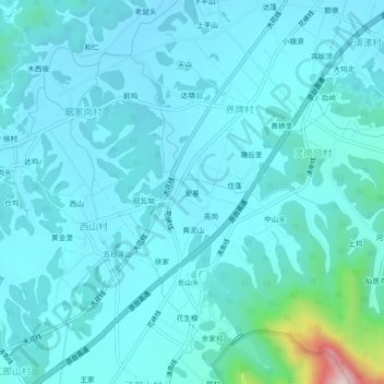
Name: 安基 topographic map, elevation, terrain.
Location: 安基, 江山市, 衢州市, 浙江省, 中国 (28.53828 118.53677 28.57828 118.57677)
Average elevation: 587 ft
Minimum elevation: 430 ft
Maximum elevation: 1,909 ft
Other topographic maps
Click on a map to view its topography, its elevation and its terrain.