
四都镇 topographic map
Interactive map
Click on the map to display elevation.
About this map
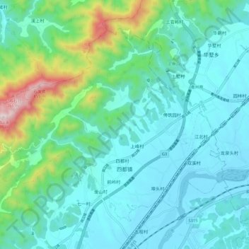
Name: 四都镇 topographic map, elevation, terrain.
Location: 四都镇, 江山市, 衢州市, 浙江省, 中国 (28.82030 118.62871 28.89169 118.73368)
Average elevation: 728 ft
Minimum elevation: 236 ft
Maximum elevation: 2,881 ft
Other topographic maps
Click on a map to view its topography, its elevation and its terrain.