
Forest Hills topographic map
Interactive map
Click on the map to display elevation.
About this map
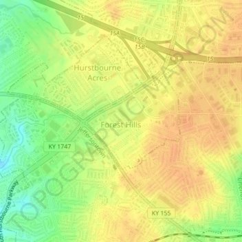
Name: Forest Hills topographic map, elevation, terrain.
Location: Forest Hills, Jefferson County, Kentucky, United States (38.21033 -85.59107 38.22116 -85.57733)
Average elevation: 663 ft
Minimum elevation: 591 ft
Maximum elevation: 696 ft
Other topographic maps
Click on a map to view its topography, its elevation and its terrain.
Louisville
United States > Kentucky > Jefferson County
Louisville features a diverse topography shaped by the Ohio River and surrounding landscape. The city lies at an elevation of approximately 466 feet (142 meters) and is characterized by rolling hills and valleys, with the highest point in the county reaching about 902 feet (275 meters) at South Park Hill in…
Average elevation: 617 ft
Louisville-Jefferson County (Balance)
United States > Kentucky > Jefferson County > Louisville
Average elevation: 515 ft
Mirror Lakes
United States > Kentucky > Jefferson County > Louisville > Hopewell
Average elevation: 650 ft
Falls of the Ohio State Park
United States > Kentucky > Jefferson County > Louisville
Average elevation: 443 ft
Bellewood
United States > Kentucky > Jefferson County > St. Matthews > Bellewood
Average elevation: 548 ft