
Reece City topographic map
Click on the map to display elevation.
About this map
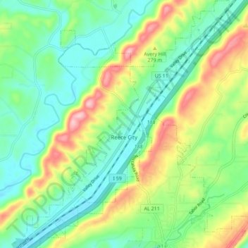
Name: Reece City topographic map, elevation, terrain.
Location: Reece City, Etowah County, Alabama, United States (34.04074 -86.06752 34.11127 -85.99712)
Average elevation: 755 ft
Minimum elevation: 538 ft
Maximum elevation: 1,184 ft
Etowah County trails, hiking, mountain biking, running and outdoor activities
Other topographic maps
Click on a map to view its topography, its elevation and its terrain.