
Ridgeville topographic map
Click on the map to display elevation.
About this map
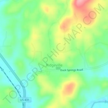
Name: Ridgeville topographic map, elevation, terrain.
Location: Ridgeville, Etowah County, Alabama, United States (34.05060 -86.11302 34.06623 -86.09276)
Average elevation: 686 ft
Minimum elevation: 538 ft
Maximum elevation: 932 ft
Etowah County trails, hiking, mountain biking, running and outdoor activities
Other topographic maps
Click on a map to view its topography, its elevation and its terrain.