
兰城村 topographic map
Interactive map
Click on the map to display elevation.
About this map
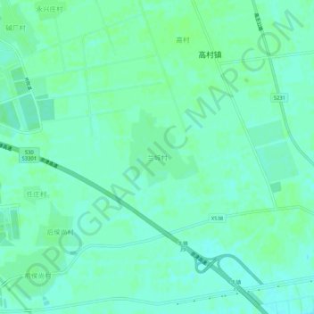
Name: 兰城村 topographic map, elevation, terrain.
Location: 兰城村, 武清区, 天津市, 中国 (39.60447 116.84736 39.64447 116.88736)
Average elevation: 39 ft
Minimum elevation: 26 ft
Maximum elevation: 49 ft
Other topographic maps
Click on a map to view its topography, its elevation and its terrain.