
崔黄口镇 topographic map
Interactive map
Click on the map to display elevation.
About this map
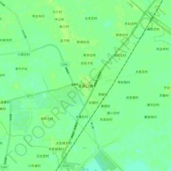
Name: 崔黄口镇 topographic map, elevation, terrain.
Location: 崔黄口镇, 武清区, 天津市, 中国 (39.48602 117.14387 39.56602 117.22387)
Average elevation: 20 ft
Minimum elevation: 0 ft
Maximum elevation: 33 ft
Other topographic maps
Click on a map to view its topography, its elevation and its terrain.