
黄花店镇 topographic map
Interactive map
Click on the map to display elevation.
About this map
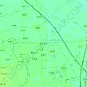
Name: 黄花店镇 topographic map, elevation, terrain.
Location: 黄花店镇, 武清区, 天津市, 中国 (39.31149 116.86232 39.39149 116.94232)
Average elevation: 33 ft
Minimum elevation: 16 ft
Maximum elevation: 49 ft
Other topographic maps
Click on a map to view its topography, its elevation and its terrain.