
西南行村 topographic map
Interactive map
Click on the map to display elevation.
About this map
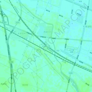
Name: 西南行村 topographic map, elevation, terrain.
Location: 西南行村, 武清区, 天津市, 301707, 中国 (39.36420 116.95715 39.40420 116.99715)
Average elevation: 26 ft
Minimum elevation: 16 ft
Maximum elevation: 36 ft
Other topographic maps
Click on a map to view its topography, its elevation and its terrain.